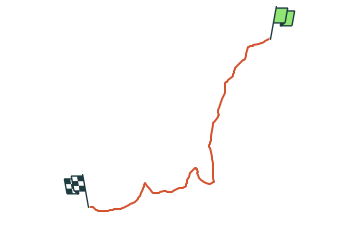
Trail On foot Bad Gottleuba-Berggießhübel - Gelber Strich - Photo

Tous les sentiers balisés d’Europe GUIDE+

© OpenStreetMap contributors
Length
Length
4.1 km
Max alt
Max alt
599 m
Uphill gradient
Uphill gradient
197 m
Km-Effort
Km-Effort  
6.1 km
Min alt
Min alt
418 m
Downhill gradient
Downhill gradient
18 m
Boucle
Boucle
No
Signpost
Signpost
Creation date :
2022-02-11 20:41:22.501
Updated on :
2022-02-11 20:41:22.501

(0 Reviews)

On foot
On foot
1h23
Difficulty : Easy

Scan this QR Code to open this trail in the SityTrail application

FREE GPS app for hiking

Logo SityTrail SityTrail

IGN / Geographical institutes

Download SityTrail from the App Store Download SityTrail from Google Play

Logo SityTrail SityTrail World

The world is yours!

Download SityTrail from the App Store Download SityTrail from Google Play Download SityTrail on Huawei AppGallery

About

Trail On foot of 4.1 km to be discovered at Saxony, Sächsische Schweiz-Osterzgebirge, Bad Gottleuba-Berggießhübel. This trail is proposed by SityTrail - itinéraires balisés pédestres.
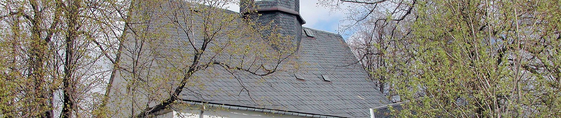
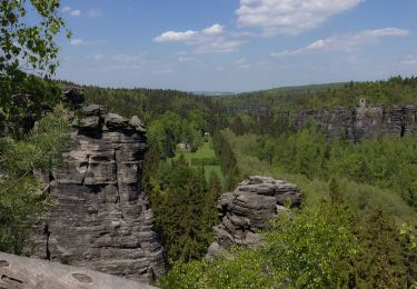
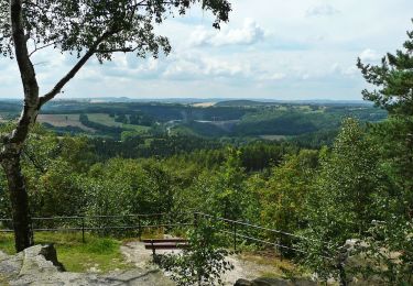
Elevation profile

Photos

Positioning

Country:
Germany
Region :
Saxony
Department/Province :
Sächsische Schweiz-Osterzgebirge
Municipality :
Bad Gottleuba-Berggießhübel
Location:
Unknown
Start:(UTM)
426682 ; 5630519 (33U) N.

Trails nearby

Trail On foot Bad Gottleuba-Berggießhübel - Blauer Strich - Photo
On foot
GUIDE+

On foot

Easy
Bad Gottleuba-Berggießhübel, Saxony, Sächsische Schweiz-Osterzgebirge, Germany
4.8 km | 6.3 km-effort
1h 26min
No
Trail On foot Bad Gottleuba-Berggießhübel - Gelber Punkt Bahratal - Photo
On foot
GUIDE+

On foot

Easy
Bad Gottleuba-Berggießhübel, Saxony, Sächsische Schweiz-Osterzgebirge, Germany
9.5 km | 13.3 km-effort
3h 2min
No


Close
My subscriptions